


Visual MODFLOW Flex
Visual MODFLOW Flex brings together industry-standard codes for groundwater flow and contaminant transport, essential analysis and calibration tools, and stunning 3D visualization capabilities in a single environment.
Visual MODFLOW Flex provides a seamless transition from raw data through conceptualization to the numerical model all within a single intuitive modeling environment.
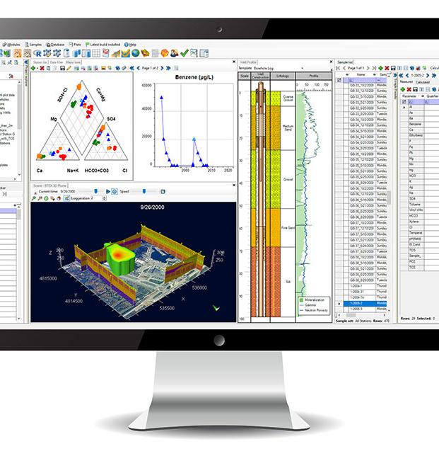
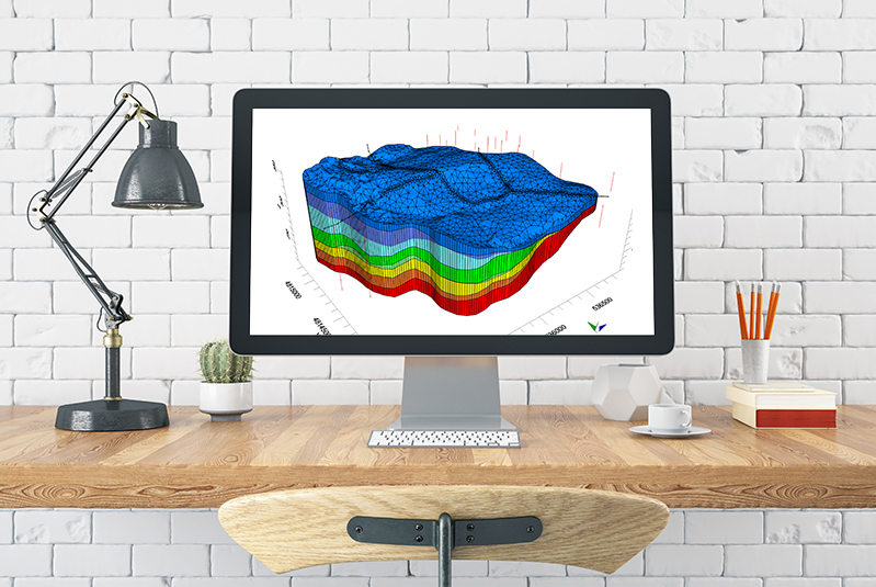
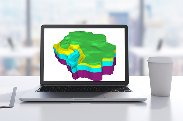
- Define complex geology and model layers using borehole log data and cross-sections
- Interpret GIS data to define hydrogeologic properties and boundaries independent of the grid
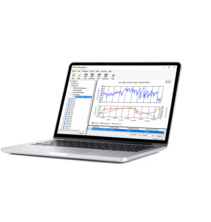
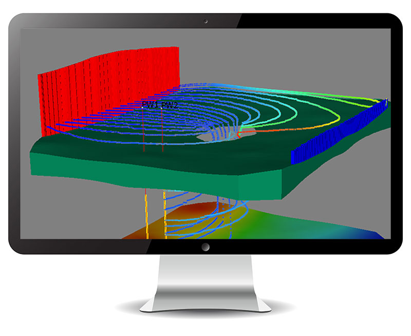
- Run, analyze, and validate model results with raw data in 2D, 3D, and cross-section views
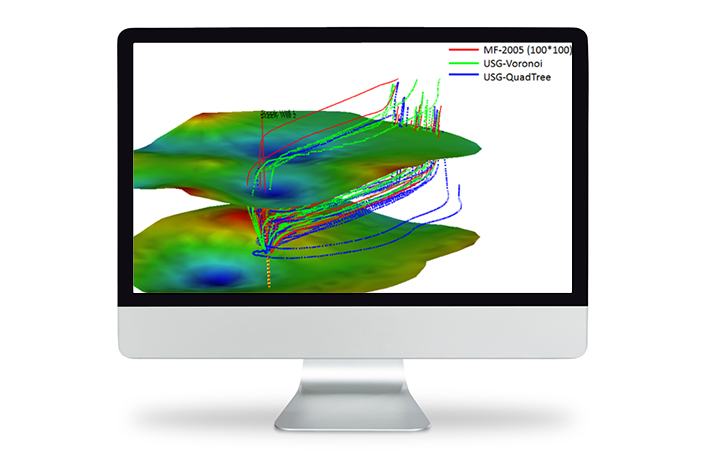
- Easily create multiple conceptualizations; generate numerous grids and model scenarios in parallel all in a single project
- Assess uncertainty though comparing heads from multiple model runs in 2D, 3D or chart views
Visual MODFLOW Flex Applications Include:
- Delineate well capture zones for domestic water supply development
- Design and optimize pumping well locations for mine dewatering projects
- Determine contaminant fate and exposure pathways for risk assessment
- Simulate surface water-groundwater interactions
- Watershed scale/regional groundwater modeling, and aquifer storage and recovery (ASR)
- Evaluate groundwater remediation systems (pump and treat, funnel and gate etc)
- Evaluate saltwater intrusion