
Landslides Monitoring
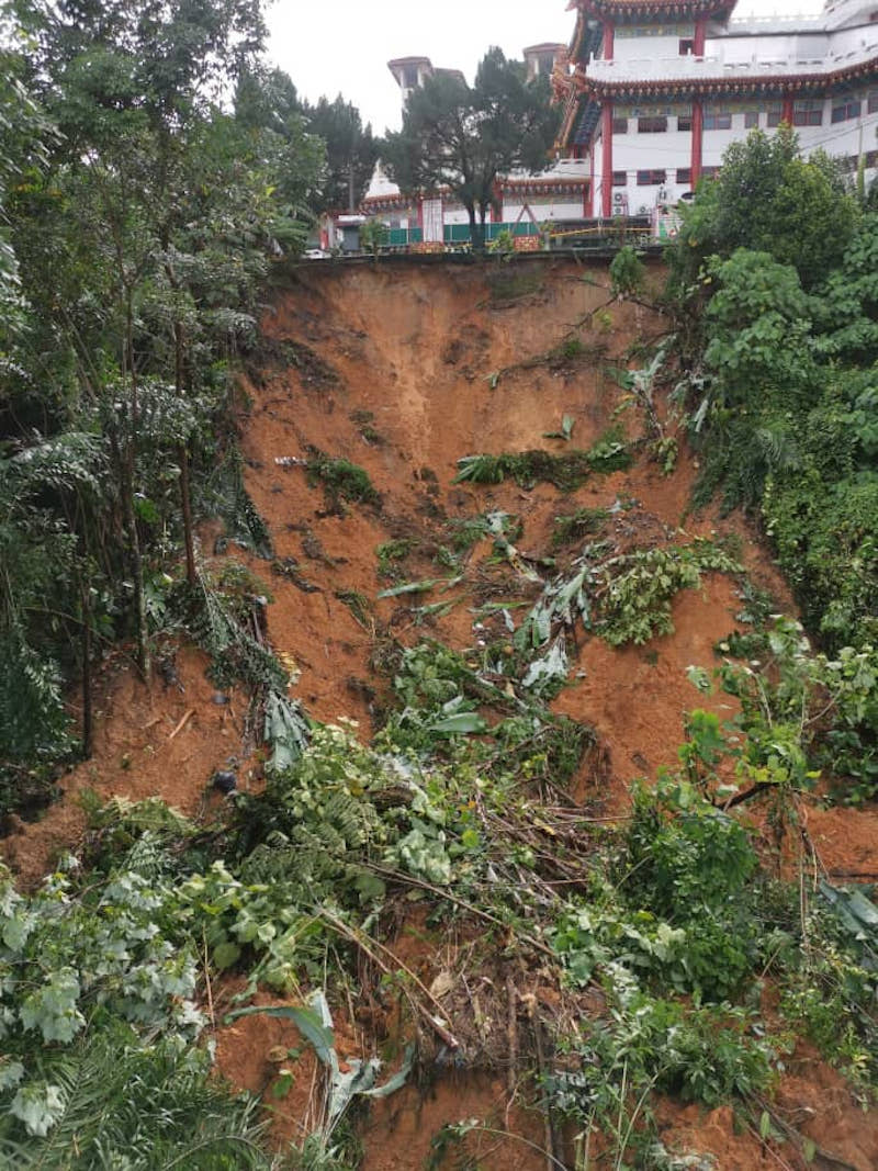
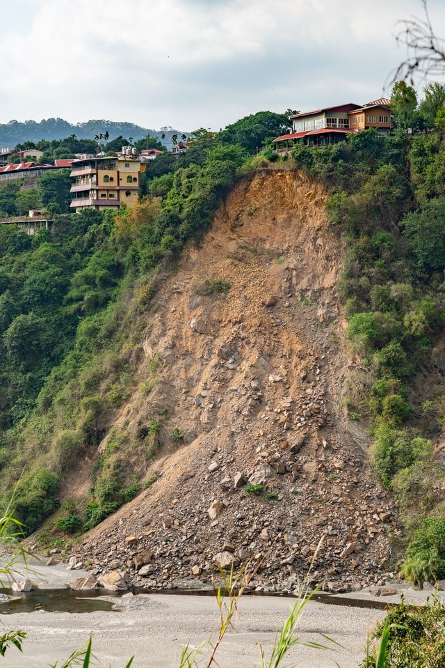
"The term " landslide describes a wide variety of processes that result in the downward and outward movement of slope-forming materials including rock, soil, artificial fill, or a combination of these." (USGS, 2004).
A change in the stability of a slope can be caused by a number of factors, acting together or alone, natural (groundwater pressure, toe erosion, earthquake, etc.) or occurring with human activities (blasting, excavations, constructions, etc.)
Instrumentation in landslides usually monitors not only the body of the landslide, but also the buildings in the area, the protective structures, the weather parameters and, if needed, seismic parameters.
Rotational Landslide Monitoring
An example of a typical rotational landslide monitoring system, which include datalogger, geotechnical sensors, meteorological station and water level indicator. The system is powered up by solar and with an optional 3G/ 4G GSM modem we are able to push data to servers/ data monitoring platforms for online monitoring applications.
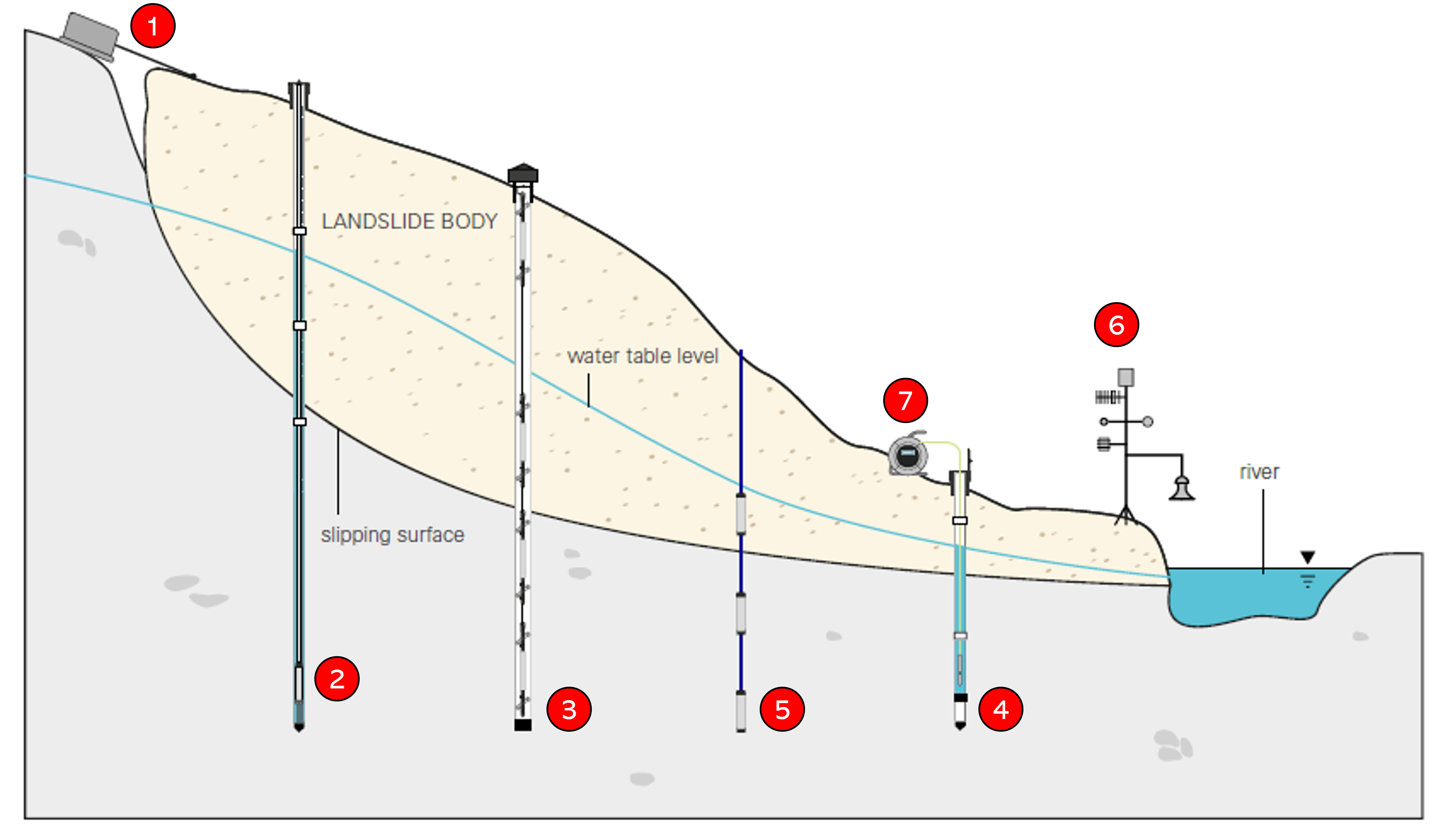
No. |
Instrument |
Purpose |
1. |
Wire Crackmeter |
Monitoring of cracks in rock masses of ground displacement. |
2. |
Vented Pressure Transducer |
Measurement of water level in standpipe piezometer. |
3. |
Digital MEMS in-place |
Monitoring of deep lateral movements
|
4. |
Standpipe Piezometer
|
Utilized to measure water table with water level indicator or pressure transducer. |
5. |
Casagrande Piezometer (blind tube) |
Pore pressure pressure or water table with water level indicator or pressure transducer. |
6. |
Meteorological station |
Monitoring of meteorological parameters such as rain. wind, temperature and etc. |
7. |
Water level indicator |
Monitoring of water table level in standpipe and Casagrande piezometers. |

Rock Mass Monitoring
An example of rock mass monitoring system, which include datalogger and various geotechnical sensors. The system is powered up by solar and with an optional 3G/ 4G GSM modem we are able to push data to servers/ data monitoring platforms for online monitoring applications.
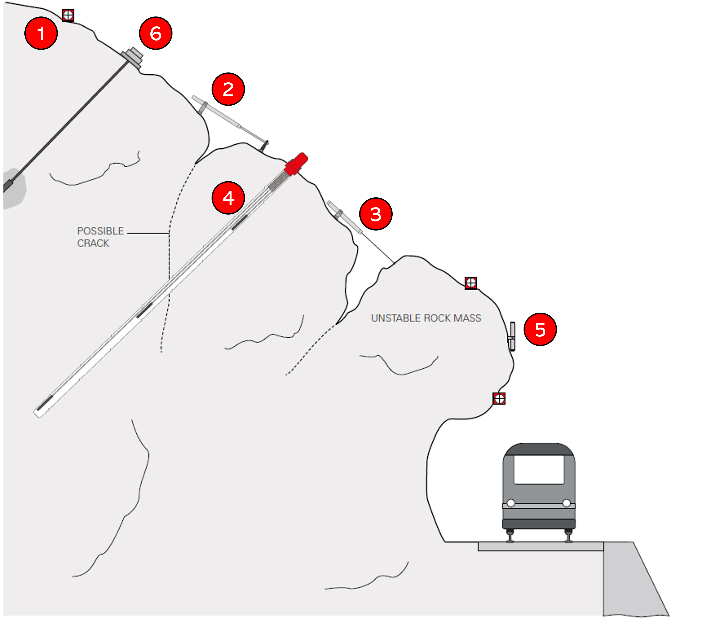
No. |
Instrument |
Purpose |
1. |
Optical target or miniprism |
Monitoring displacement with geodetic methods. |
2. |
Jointmeter / crackmeter |
Measurement of small cracks in rock mass or buildings. |
3. |
Wire deformometer |
Surface displacement monitoring in rock masses. |
4. |
Borehole extensometer |
Monitoring subsurface displacements in
|
5. |
Waterproof tiltmeter |
Monitoring rotation in big rock masses. |
6. |
Electric anchor load cell |
Measure anchor tension. |